Real-estate Listings (JSON, 30 records)
The property listings as a JSON array: the format twin of the CSV, for import and mapping tests.
[
  {
    "listing_id": "L0001",
    "address": "8769 Oak St",
    "city": "Denver",
    "state": "CO",
    "type": "apartment",
    "price": 1187000,
    "beds": 3,
    "baths": 3.0,
    "sqft": 1608,
    "year_built": 1987,
    "latitude": 39.75292,
    "longitude": -105.05308,
    "status": "for_sale"
  },
  {
    "listing_id": "L0002",
    "address": "3795 Pine St",
    "city": "Portland",
    "state": "OR",
    "type": "condo",
    "price": 1059000,
    "beds": 1,
    "baths": 1.5,
    "sqft": 2998,
    "year_built": 1978,
    "latitude": 45.51004,
    "longitude": -122.61966,
    "status": "sold"
  },
  {
    "listing_id": "L0003",
    "address": "9786 Ash St",
    "city": "Portland",
    "state": "OR",
    "type": "condo",
    "price": 262000,
    "beds": 3,
    "baths": 2.5,
    "sqft": 3520,
    "year_built": 1955,
    "latitude": 45.48338,
    "longitude": -122.6642,
    "status": "for_sale"
  },
  {
    "listing_id": "L0004",
    "address": "7319 Willow St",
"city": "Austin",Specifications
- Records
- 30
- Schema
- listing_id, address, city, state, type, price, beds, baths, sqft, year_built, latitude, longitude, status
- Domain
- real estate
Testing contract
Expected to pass- Scenario
- Exercise Real-estate Listings (JSON, 30 records) in its real estate workflow. The property listings as a JSON array: the format twin of the CSV, for import and mapping tests.
- Expected result
- array length is 30; first-record keys are listing_id, address, city, state, type, price, beds, baths, sqft, year_built, latitude, longitude, status. Declared feature checks: domain=real estate.
What is a .json file?
JSON (JavaScript Object Notation) is a lightweight, text-based data-interchange format representing objects, arrays, strings, numbers, booleans, and null. It is language-independent, human-readable, and the dominant format for web APIs and configuration. It requires a single well-formed root value.
How to use this file
Use an example JSON file to test parsers and serializers, schema validation, Unicode and number-precision handling, and API request or response processing.
How to use this file for testing
“Real-estate Listings (JSON, 30 records)” is a deterministic Testaroo fixture for Data import, Geospatial, Conversion testing. Realistic faker-generated datasets with documented schemas for testing import and ETL flows.
Documented properties for this file: 30 records · schema: listing_id, address, city, state, type, price, beds, baths, sqft, year_built, latitude, longitude, status. Compare results against paired or grouped companions on this page when present (clean↔damaged, searchable↔scanned, or format twins) so scores stay reproducible across runs.
Download the file once, keep the path stable in CI or local scripts, and treat the spec table as the contract: dimensions, seeds, field lists, and roles are intentional. Corrupt or invalid samples are labelled as such, expect parsers to fail loudly rather than silently accept them.
Data fixtures document their exact quirks (delimiters, encodings, null handling, schema, and row counts) in the spec table. Point your parser or importer at the file and assert it handles the documented edge cases; clean and deliberately-messy siblings make before/after diffs straightforward.
Code examples
import json

with open("listings.json") as f:
    data = json.load(f)
print(type(data), len(data))
Generated by generation/data_domains.py. Free for any use, no attribution required, license.
Related files
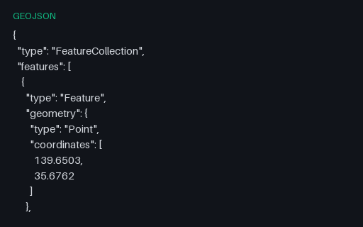
- geojsonWorld Cities (40 points, GeoJSON)The same 40 world cities as a GeoJSON FeatureCollection of Points (longitude, latitude order per RFC 7946), each with name, country, and population properties. The mapping twin of the CSV, for testing GeoJSON parsers and map renderers.
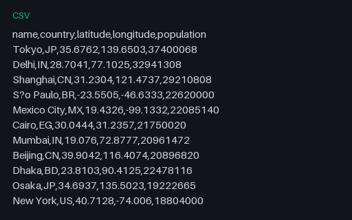
- csvWorld Cities (40 rows, CSV)A curated world-cities dataset: 40 major cities with country, latitude, longitude, and population. A realistic geospatial fixture for testing map plots, geocoding, and CSV→GeoJSON conversion. GeoJSON twin included.
- gpkgGeoPackage: Aspatial Attributes Table (no geometry column)A GeoPackage holding an `attributes` table with no geometry at all: the standard's own answer to a lookup table you want to ship alongside your layers. Its gpkg_contents row has null bounds and a null SRS, which is what readers that assume every row is spatial trip over.
- gpkgGeoPackage: Three Feature Layers in One SQLite ContainerThe territory as an OGC GeoPackage: an ordinary SQLite database with the three required metadata tables and three feature layers whose geometry columns hold GeoPackage binary blobs. Unlike a shapefile it carries several geometry types, long column names and real typed columns in one file.
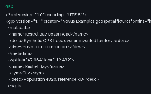
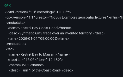
- gpxGPX: Route (rte) Rather Than a TrackA `rte` element: an ordered list of waypoints describing a planned route, with no timestamps because it has not been travelled yet. Many importers only look for `trk` and report this perfectly valid file as empty.
- gpxGPX: Standalone Waypoints OnlyFive `wpt` elements for the towns of the territory, with names, symbols and descriptions but no track or route. It is the GPX equivalent of a point layer, and the third of the three top-level GPX content types.