Geospatial
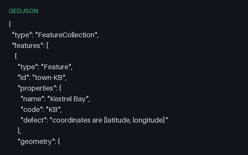
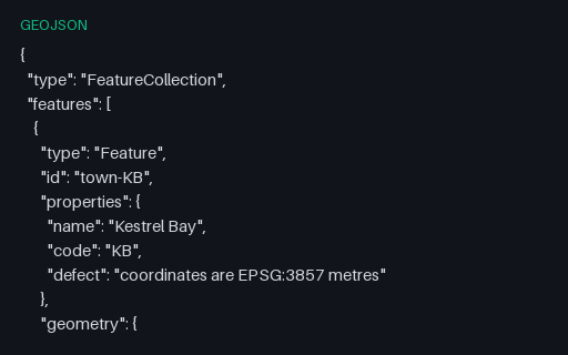
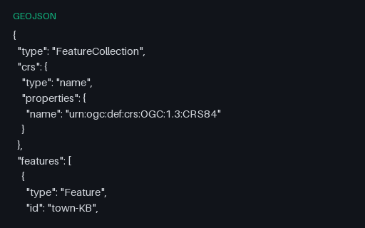
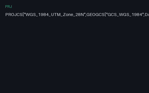
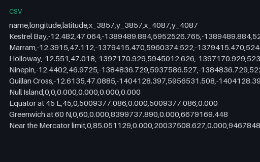
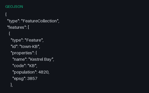
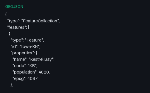
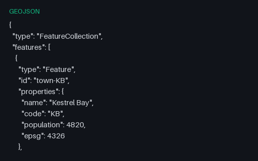
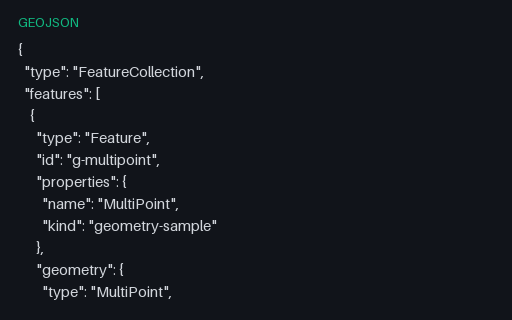
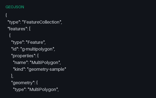
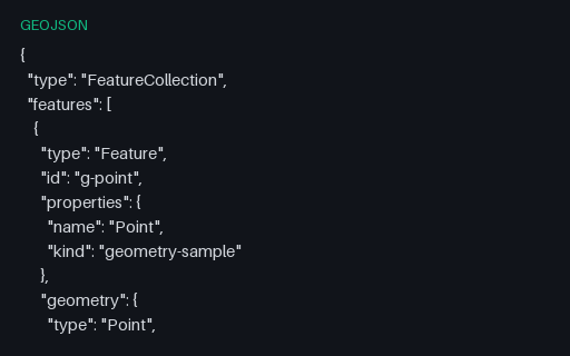
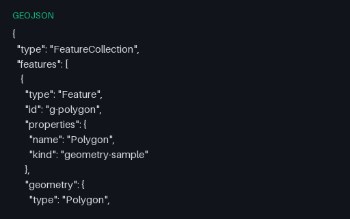
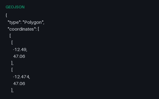
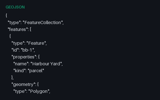
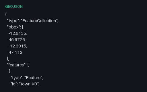
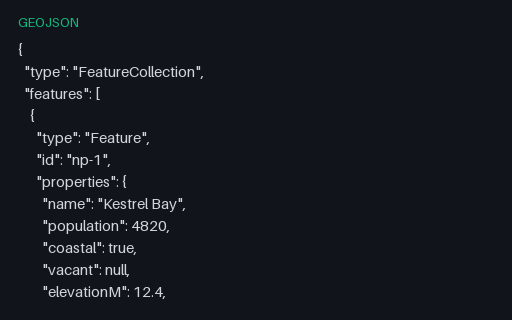
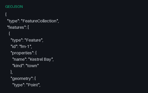
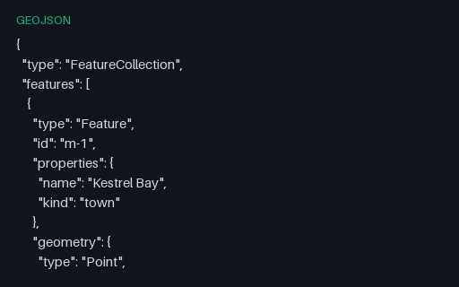
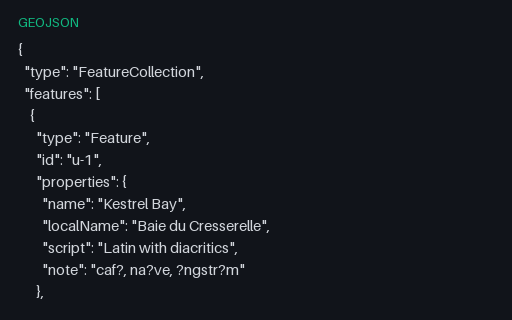
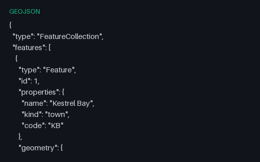
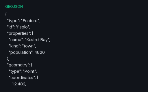
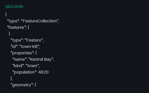
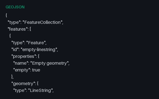
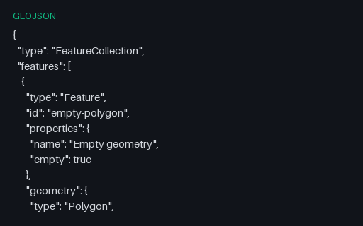
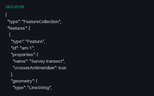
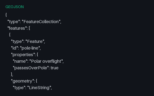
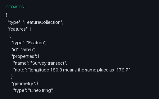
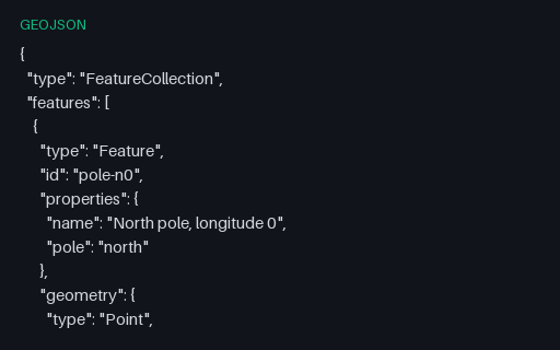
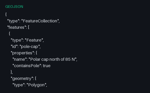
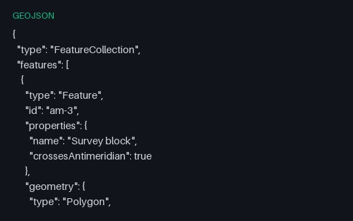
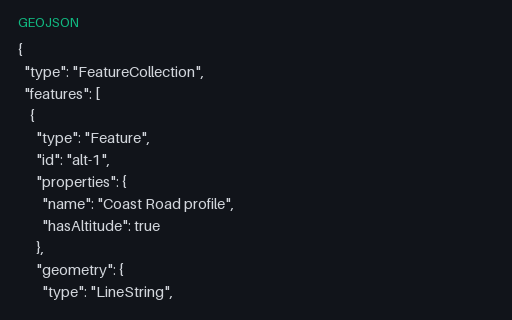
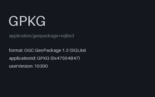
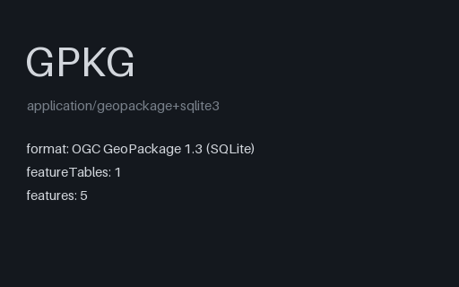
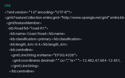
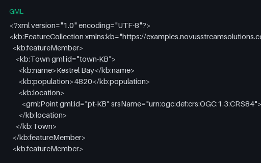
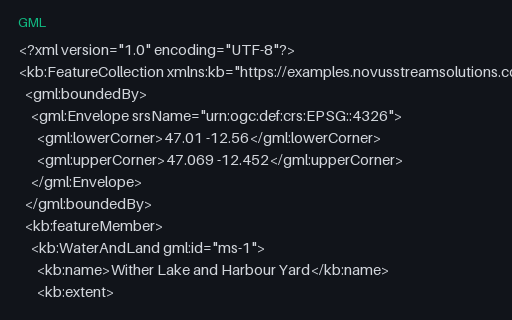
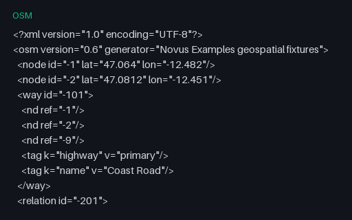
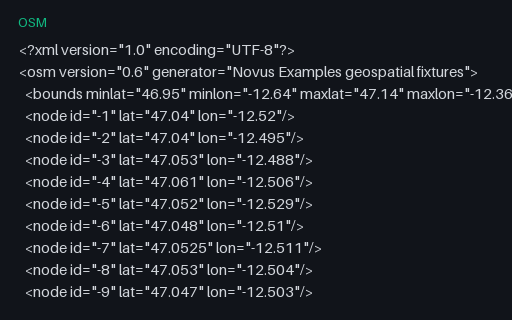
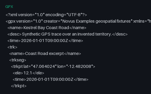
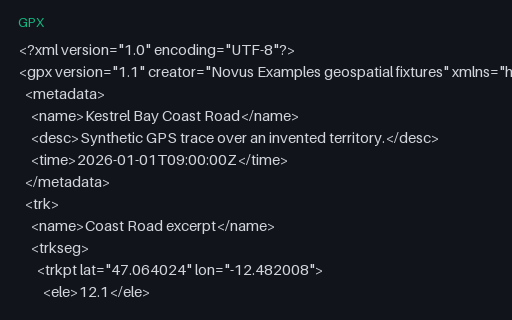
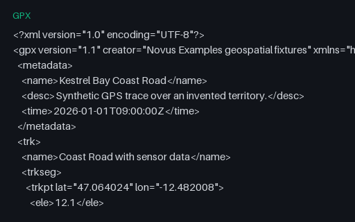
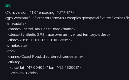
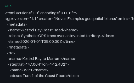
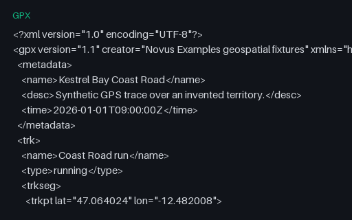
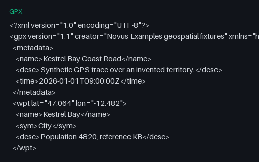
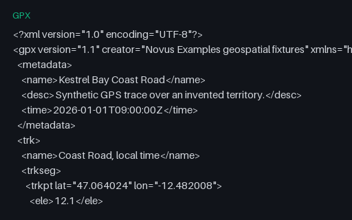
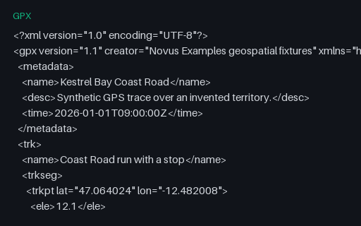
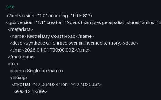
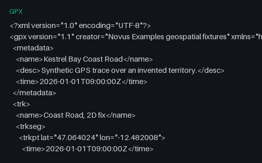
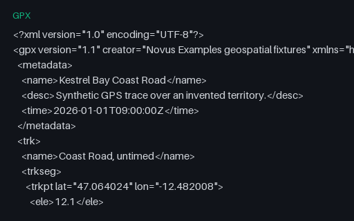
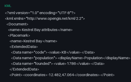
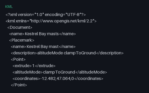
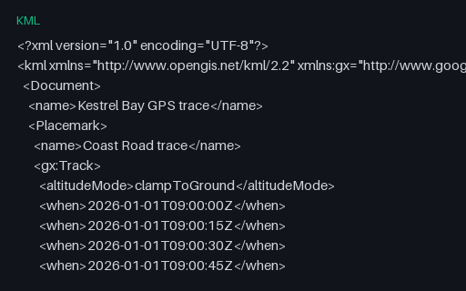
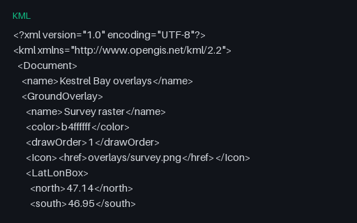
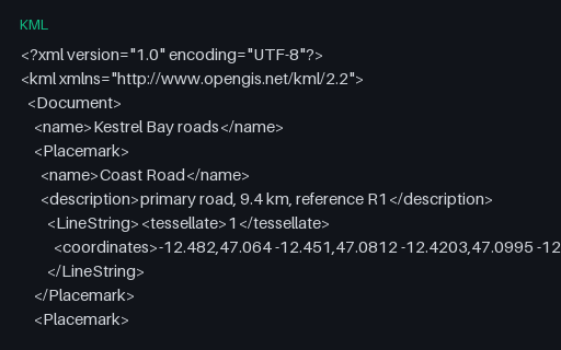
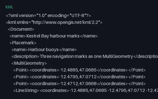
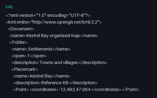
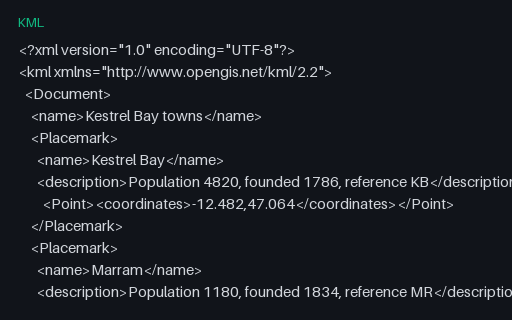
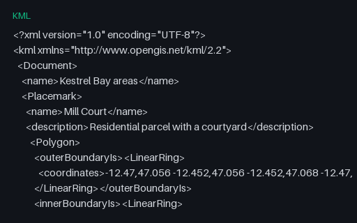
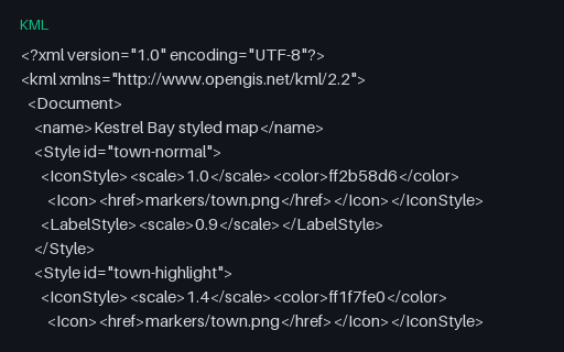
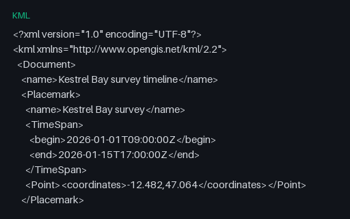
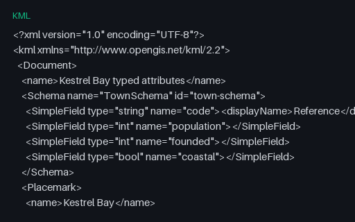
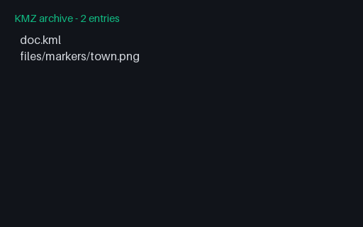
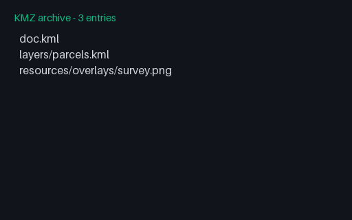
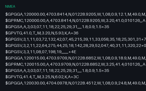
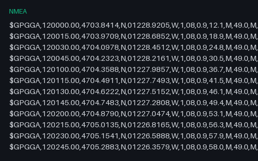
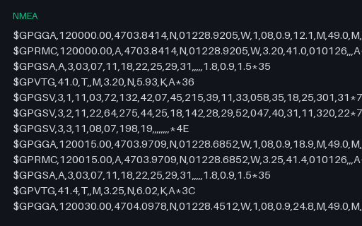
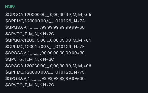
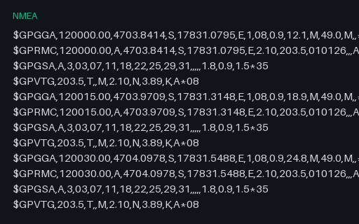
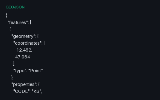
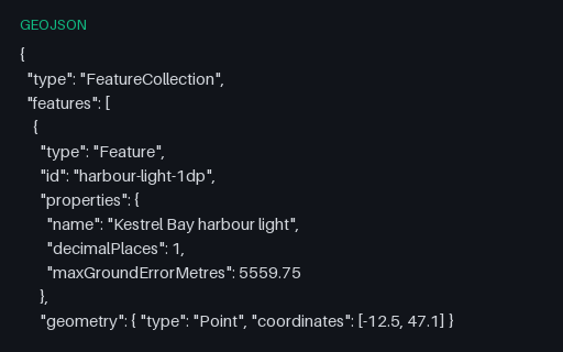
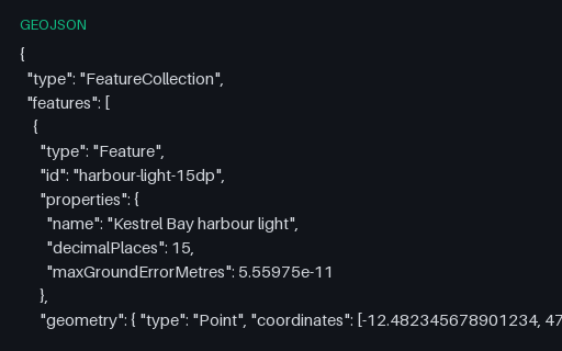
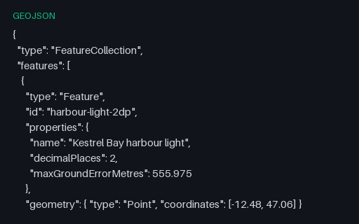
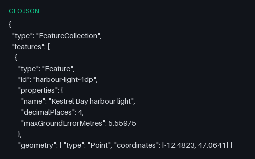
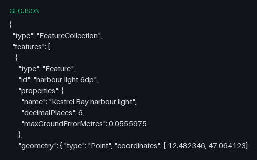
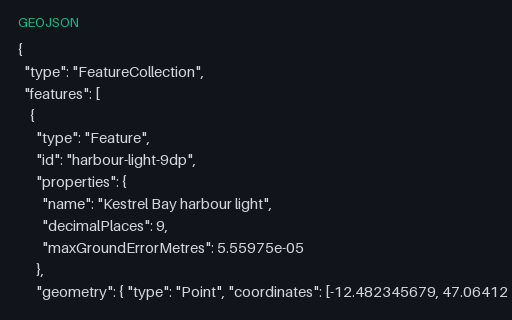
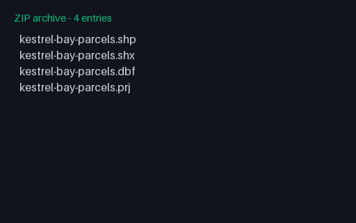
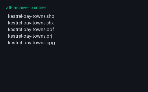
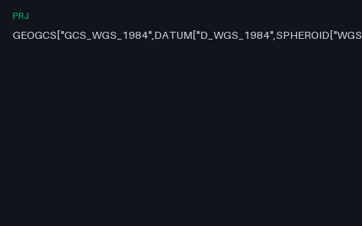
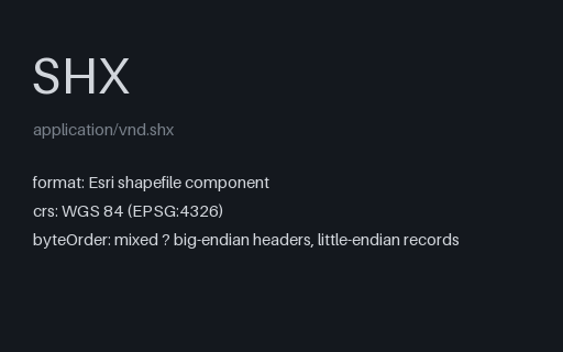
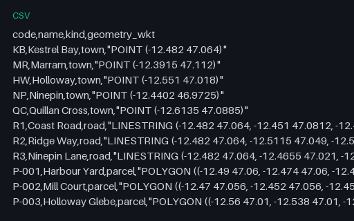
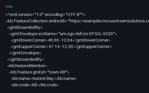
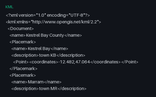
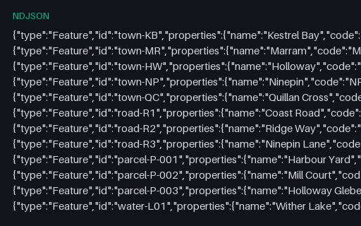
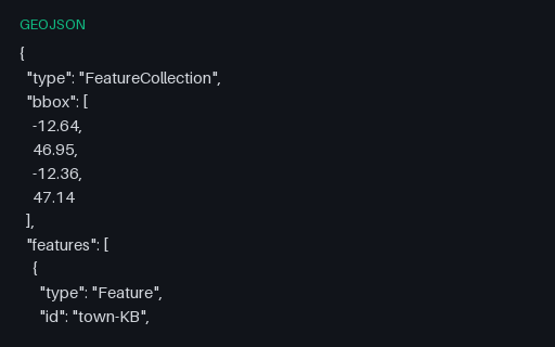
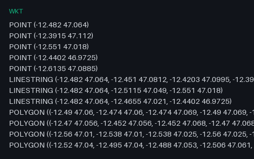
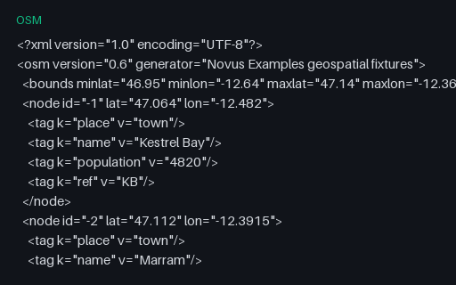
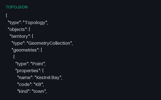
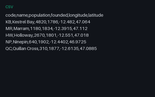
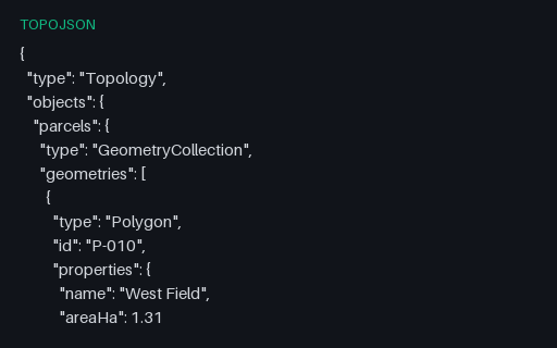
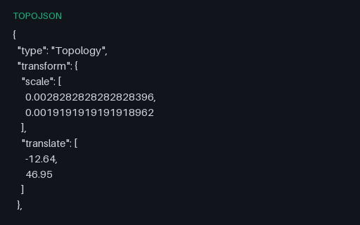
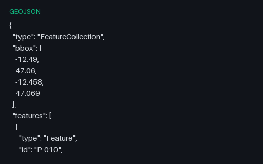
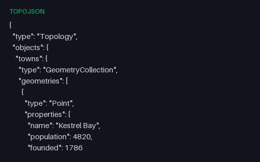
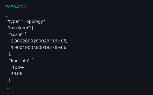
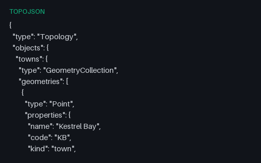
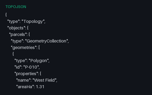
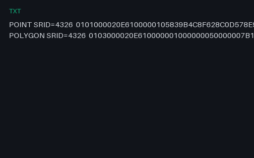
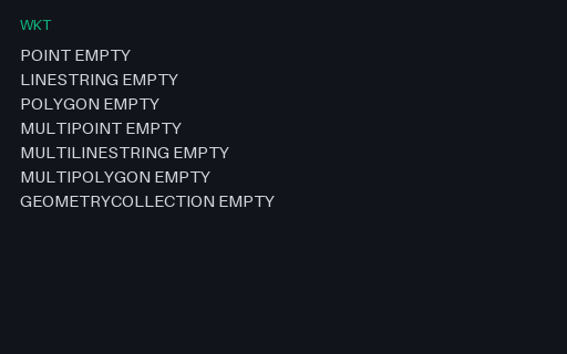
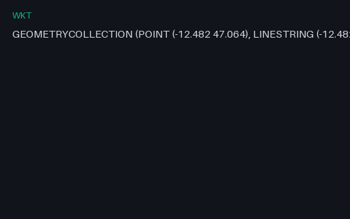
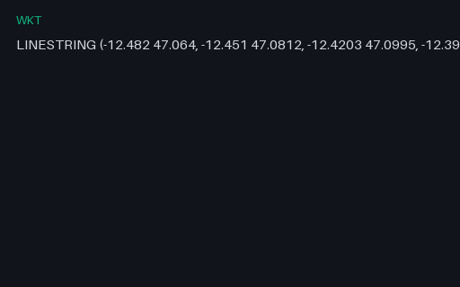
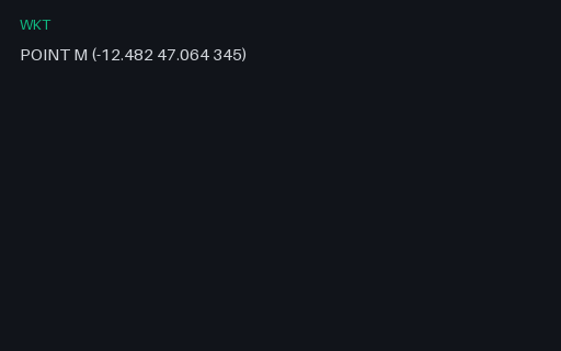
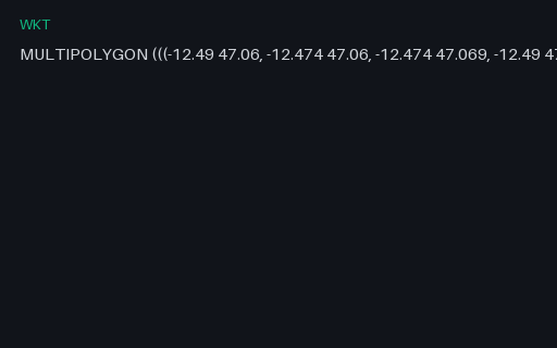
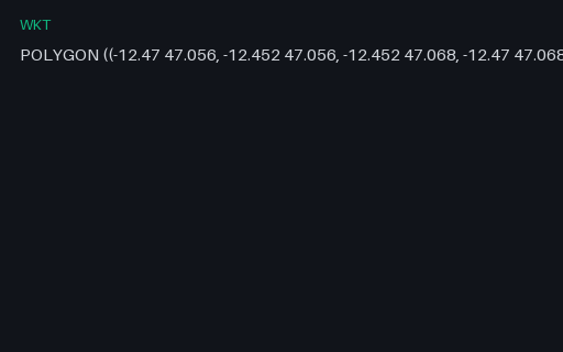
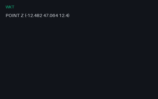
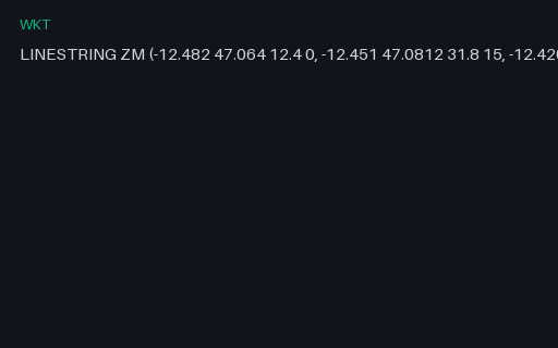
Mapping tools have to survive a genuinely awkward set of formats, and most sample data is either a country outline or someone's holiday GPX. Here the same small invented territory (a handful of towns, roads, parcels, and a lake) is published across the formats GIS pipelines actually exchange: GeoJSON and TopoJSON, Esri shapefile component sets (.shp/.shx/.dbf/.prj) and their zipped bundles, KML and KMZ, OGC GeoPackage, GML, and Well-Known Text. GPS coverage spans GPX tracks and routes plus raw NMEA sentence logs. Coordinate-system fixtures pair the same geometry in WGS 84 and a projected CRS so reprojection can be scored against a known answer, and edge cases cover antimeridian crossings, holes in polygons, self-intersections, and empty geometries.
Filter geospatial on Browse · 158 files · 14 subcategories
Frequently asked questions
Is the same geometry available across formats?+
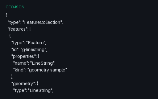
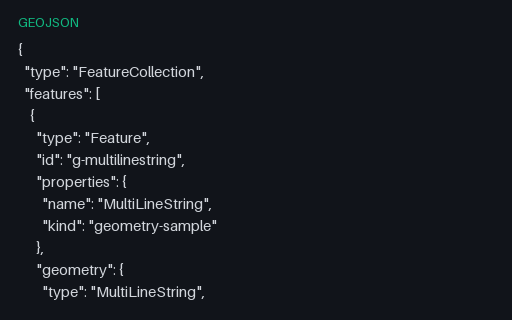
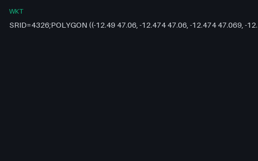
Yes. One small invented territory is published as GeoJSON, TopoJSON, shapefile component sets, KML/KMZ, GeoPackage, GML, and WKT, so conversion fidelity can be measured against a known shape.
How do I test reprojection?+
Coordinate-system fixtures pair the same features in WGS 84 and a projected CRS, with the transform documented in specs, reproject one and diff against the other.
What geometry edge cases are covered?+
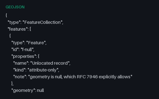
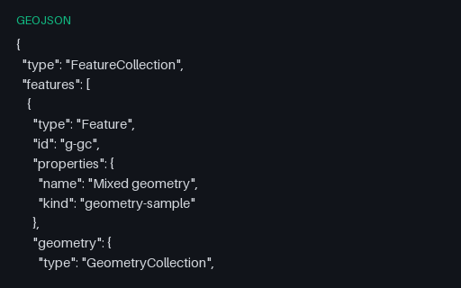
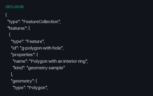
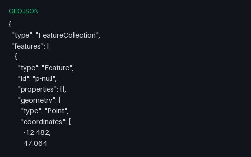
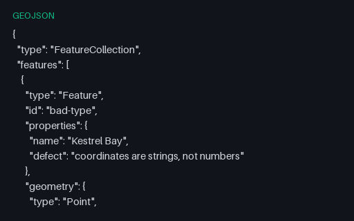
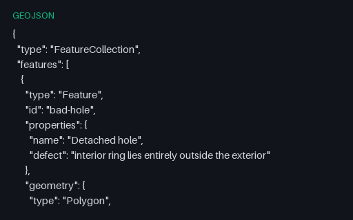
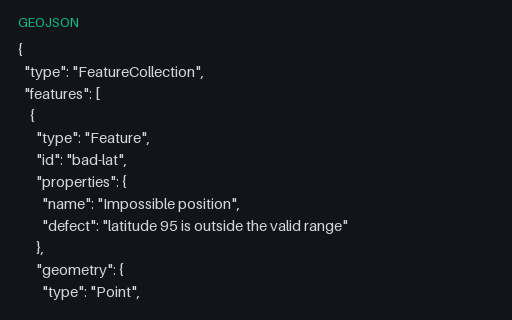
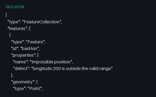
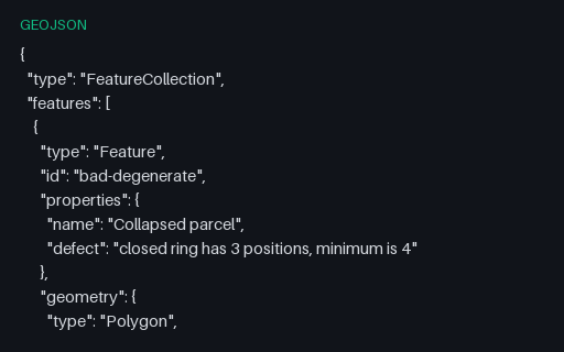
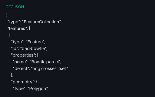
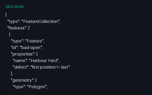
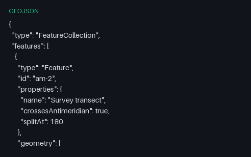
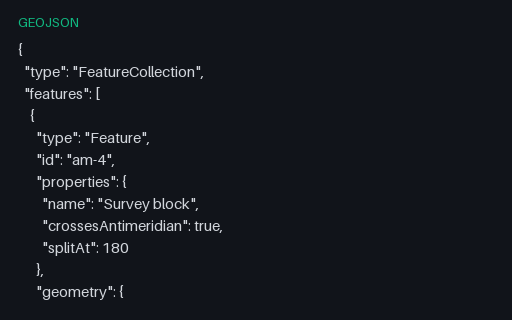
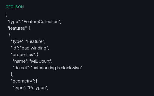
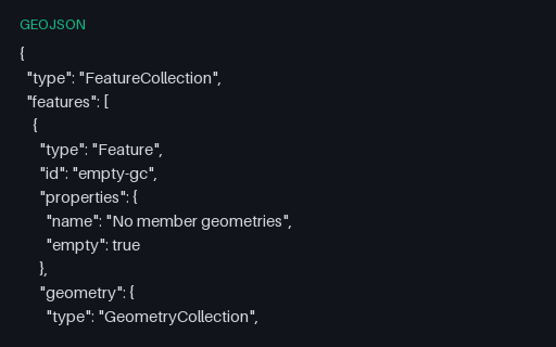
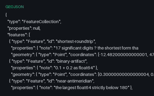
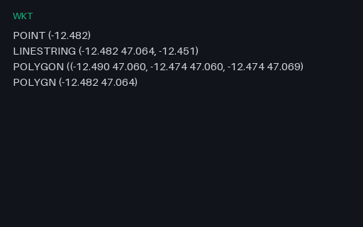
Antimeridian crossings, polygons with holes, self-intersecting rings, empty and null geometries, and mixed-type feature collections, each labelled with what it is meant to break.