NMEA 0183: Receiver With No Fix
Six cycles of a receiver that has power but no satellite lock: GGA fix quality 0, RMC status V, and empty coordinate fields throughout. Parsers that split on commas and index positionally read these empty fields as zeros and plot the track at Null Island.
$GPGGA,120000.00,,,,,0,00,99.99,,M,,M,,*65
$GPRMC,120000.00,V,,,,,,,010126,,,N*7A
$GPGSA,A,1,,,,,,,,,,,,,99.99,99.99,99.99*30
$GPVTG,,T,,M,,N,,K,N*2C
$GPGGA,120015.00,,,,,0,00,99.99,,M,,M,,*61
$GPRMC,120015.00,V,,,,,,,010126,,,N*7E
$GPGSA,A,1,,,,,,,,,,,,,99.99,99.99,99.99*30
$GPVTG,,T,,M,,N,,K,N*2C
$GPGGA,120030.00,,,,,0,00,99.99,,M,,M,,*66
$GPRMC,120030.00,V,,,,,,,010126,,,N*79
$GPGSA,A,1,,,,,,,,,,,,,99.99,99.99,99.99*30
$GPVTG,,T,,M,,N,,K,N*2C
$GPGGA,120045.00,,,,,0,00,99.99,,M,,M,,*64
$GPRMC,120045.00,V,,,,,,,010126,,,N*7B
$GPGSA,A,1,,,,,,,,,,,,,99.99,99.99,99.99*30
$GPVTG,,T,,M,,N,,K,N*2C
$GPGGA,120100.00,,,,,0,00,99.99,,M,,M,,*64
$GPRMC,120100.00,V,,,,,,,010126,,,N*7B
$GPGSA,A,1,,,,,,,,,,,,,99.99,99.99,99.99*30
$GPVTG,,T,,M,,N,,K,N*2C
$GPGGA,120115.00,,,,,0,00,99.99,,M,,M,,*60
$GPRMC,120115.00,V,,,,,,,010126,,,N*7F
$GPGSA,A,1,,,,,,,,,,,,,99.99,99.99,99.99*30
$GPVTG,,T,,M,,N,,K,N*2C
Specifications
- Format
- NMEA 0183
- Talker
- GP (GPS)
- Crs
- WGS 84 (EPSG:4326)
- Encoding
- ASCII
- Checksum Algorithm
- XOR of bytes between $ and *
- Date
- 2026-01-01
- Seed
- 20260807
- Sentences
- 24
- Fix Quality
- 0
- Rmc Status
- V (void)
- Empty Fields
- true
- Hdop
- 99.99
- Line Endings
- CRLF (per NMEA 0183)
- All Checksums Valid
- true
Testing contract
Expected to pass- Scenario
- Parse the log and report the receiver's position.
- Expected result
- No position is produced and the void status is surfaced; nothing plots at 0,0 as a result of empty fields being coerced to zero.
What is a .nmea file?
An .nmea file is a log of NMEA 0183 sentences, the ASCII protocol GPS and marine electronics use. Each line begins with `$` and a five-character talker-and-type identifier such as GPGGA, GPRMC, or GPGSV, carries comma-separated fields, and ends with `*` and a two-digit XOR checksum. Positions are encoded as degrees-and-decimal-minutes with a separate hemisphere field, not as decimal degrees.
How to use this file
Use an example .nmea file to test GPS log parsers and track converters, verifying checksum validation, correct degrees-minutes-to-decimal conversion, and sensible handling of sentences emitted before a fix is acquired.
How to use this file for testing
“NMEA 0183: Receiver With No Fix” is a deterministic Testaroo fixture for Geospatial, Error handling, Data import. GeoJSON, GPX, and KML files with points, lines, polygons, and tracks, for testing map tools, route parsers, and geo importers.
Documented properties for this file: seed 20260807 · ASCII · CRLF (per NMEA 0183). Compare results against paired or grouped companions on this page when present (clean↔damaged, searchable↔scanned, or format twins) so scores stay reproducible across runs.
Download the file once, keep the path stable in CI or local scripts, and treat the spec table as the contract: dimensions, seeds, field lists, and roles are intentional. Corrupt or invalid samples are labelled as such, expect parsers to fail loudly rather than silently accept them.
Geospatial fixtures publish one invented territory across formats, with the coordinate reference system and feature counts documented in specs. Convert or reproject and diff against the twin in the same group; edge-case geometries state exactly which assumption they are built to break.
Generated by generation/geospatial.py. Free for any use, no attribution required, license.
Related files
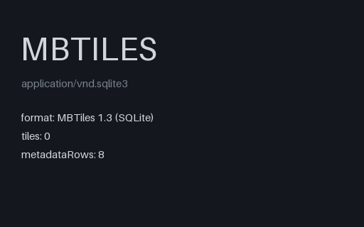
- mbtilesMBTiles: Structurally Valid Tileset With No TilesEvery required MBTiles table and metadata key, and not one tile row. This is what a failed or interrupted tile build actually produces, and it is the fixture that finds code which reports success because the file opened and the schema validated.
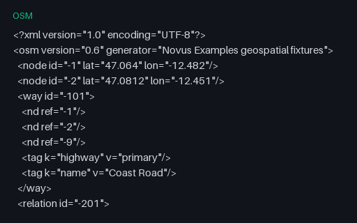
- osmOSM XML, Intentionally Invalid: Way and Relation With Dangling ReferencesIntentionally invalid: a way referencing node -9 and a relation referencing way -999, neither of which is in the file. This is the normal state of a bounding-box extract, where objects are clipped at the boundary, so a reader has to decide between rejecting the file and building partial geometry, and must say which.
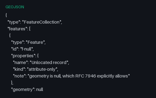
- geojsonGeoJSON Feature: Null GeometryRFC 7946 permits `"geometry": null` for a feature with attributes but no location. Readers that assume every feature has coordinates crash here, and writers that emit an empty Point instead corrupt the record's meaning.
- geojsonGeoJSON Geometry: GeometryCollectionA single Feature whose geometry is a GeometryCollection of a Point, a LineString and a Polygon. Many simple readers flatten or silently drop these, and many writers cannot produce them at all, so it is the usual place a conversion loses data.
- geojsonGeoJSON, Intentionally Invalid: Coordinates as JSON StringsIntentionally invalid: the file is perfectly good JSON but the coordinates are quoted strings, which RFC 7946 does not allow. It is exactly what a CSV-to-GeoJSON script produces when it forgets to cast, and a permissive reader will coerce it and hide the bug.
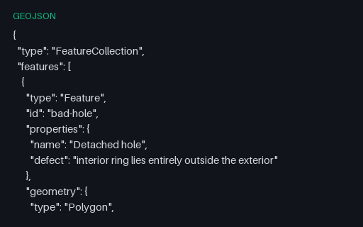
- geojsonGeoJSON, Intentionally Invalid: Hole Outside Its ShellIntentionally invalid: the second ring is a whole separate parcel filed as an interior ring of the first, which OGC Simple Features forbids. It is what happens when a MultiPolygon is flattened into a Polygon by concatenating rings.