Find files, editable templates and browser test targets by what you need to make or test. The directory below is cut by format; the two collections under it cut the same library by subject and by workflow.
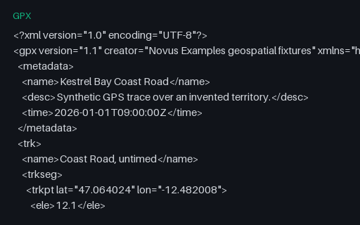
The same eight points timestamped with a +01:00 offset rather than the usual Z. The digits are identical to the reference track, so a parser that strips the offset and assumes UTC produces times that are wrong by exactly one hour: a silent error that only shows up when two traces are merged.
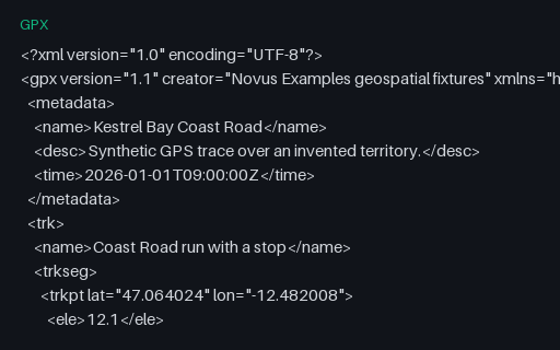
The same 24 points split into two `trkseg` elements with a ten-minute gap between them: what a receiver writes after a stop or a signal loss. Tools that concatenate segments without noticing the boundary report a moving average dragged down by a pause that never happened on the move.
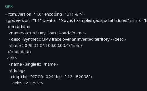
A track containing exactly one point, which is what a receiver writes when a recording is stopped immediately. Distance, speed and bearing all need a pair of points, so this is the fixture that finds off-by-one loops and empty-slice crashes.
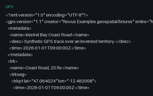
Eight trackpoints with timestamps but no `ele` element, the shape a receiver writes on a 2D fix. Elevation-profile code that assumes the element is present either crashes or charts a flat line at zero, which looks like real data.
The same eight points with elevation but no `time` element: what you get when a track is drawn in a planning tool rather than recorded. Speed and pace calculations must refuse to produce a number here instead of dividing by a zero duration.
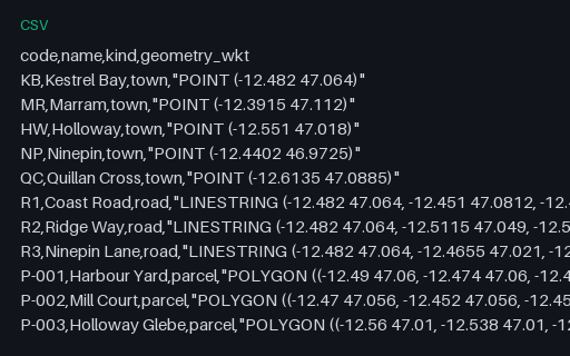
Attributes plus a quoted WKT geometry column: the shape PostGIS `COPY`, DuckDB spatial and QGIS delimited-text imports expect. The geometry field contains commas, so it exercises quoted-field parsing as well as geometry decoding.
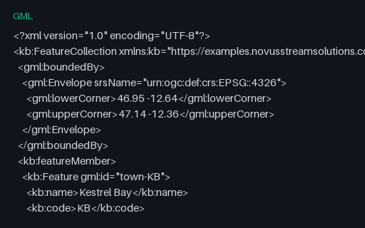
The territory as GML 3.2 with an EPSG URN srsName. Which means latitude comes first, the opposite of GeoJSON. This is the single most common cause of features landing in the wrong hemisphere, so the file is built to catch it.
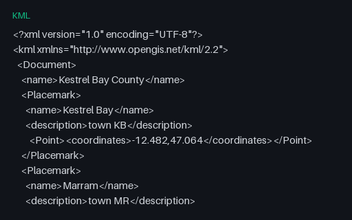
The same 14 features as KML Placemarks, with the multi-point buoys expressed as a MultiGeometry and the two holed polygons using innerBoundaryIs. KML orders coordinates longitude-first like GeoJSON, which makes it the least surprising twin in this group.
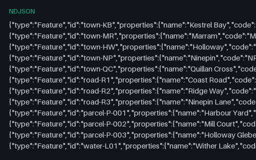
The territory as one GeoJSON Feature per line, the shape streaming pipelines and BigQuery/Athena loaders expect. There is no enclosing FeatureCollection, so a reader that insists on one will reject it.
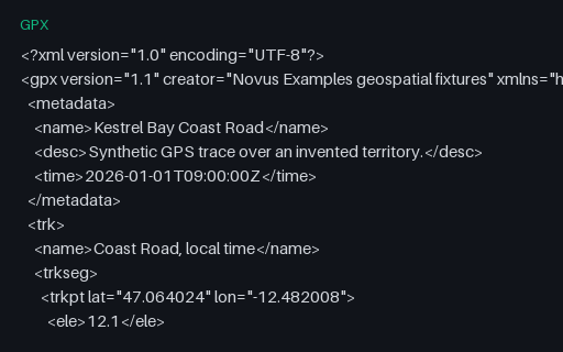
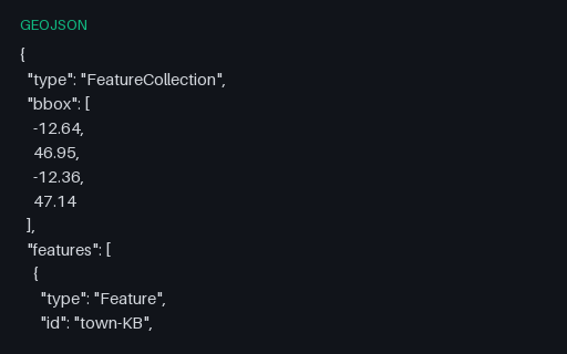
The master dataset for this category: five towns, three roads, three parcels (one with a courtyard hole), a lake with an island, a buoy MultiPoint and the county boundary, as an RFC 7946 FeatureCollection. Kestrel Bay County is invented: open ocean at 47 N / 12.5 W, matching no real place, settlement, road or parcel.
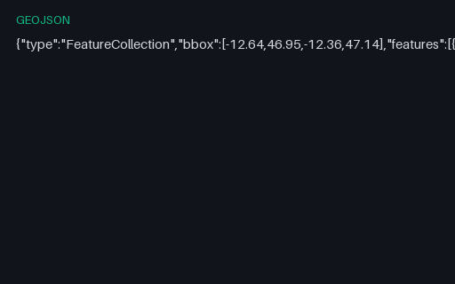
The same 14 features with every optional byte of whitespace removed. Pair it with the pretty-printed master to test that a parser's output is whitespace-independent and that a formatter round-trips without reordering members.
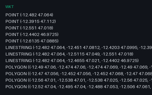
Every geometry in the territory as a bare WKT string, one per line and in master order. Attributes are deliberately absent so the file isolates geometry serialisation from attribute mapping.
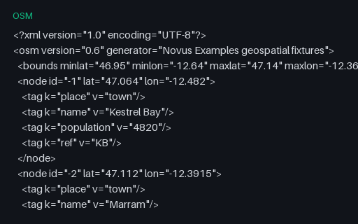
The towns and roads in OSM XML: tagged nodes, three highway ways sharing the junction node at Kestrel Bay, and a route relation over them. All object IDs are negative (the convention for objects that have never been uploaded), so nothing here can be mistaken for real OSM data.
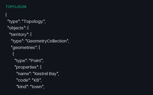
The territory as TopoJSON with no quantization and no transform, so arc coordinates are the raw WGS 84 positions. Decoding it must reproduce the master GeoJSON exactly. Which makes it the reference case before the quantized fixtures introduce rounding.
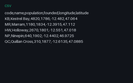
The five towns as a plain CSV with separate longitude and latitude columns: the most common way point data actually arrives. Convert it to GeoJSON and diff against the Point features in the master to score column-order and axis-order handling.
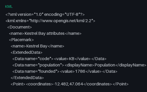
Attributes carried in `ExtendedData/Data` elements, which have names and display names but no declared types: every value is a string. Importers must infer that population is a number, and this is where a silently wrong inference starts.
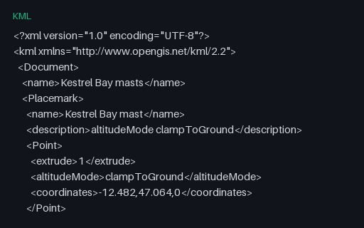
Four extruded points whose third coordinate means three different things depending on the `altitudeMode` beside it: ignored when clamped, height above terrain when relative, height above the ellipsoid when absolute. Copying the number without the mode changes what the data says.
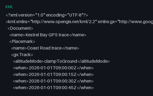
A `gx:Track` from the Google KML extension: ten `when` timestamps followed by ten `gx:coord` positions, paired by index rather than nested. Note the coordinates are space-separated here even though core KML uses commas: a detail that breaks parsers reusing the same splitting code.
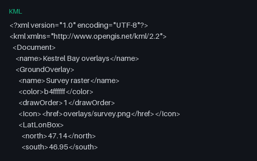
A georeferenced GroundOverlay pinned to the territory's bounding box and a ScreenOverlay anchored to a pixel position. Both reference images that are not present, which is the normal state for a bare .kml and the reason KMZ exists.
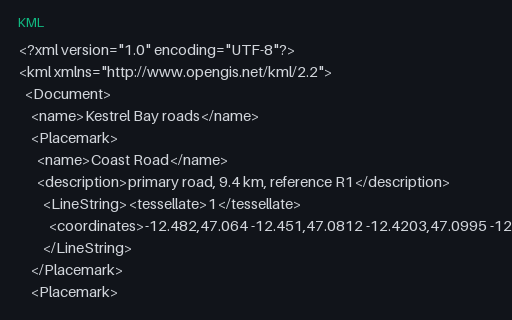
The three roads as LineString Placemarks with `tessellate` set, which tells a globe renderer to drape the line over terrain rather than drawing it as a straight chord. Converters that drop the flag produce lines that tunnel through hills.
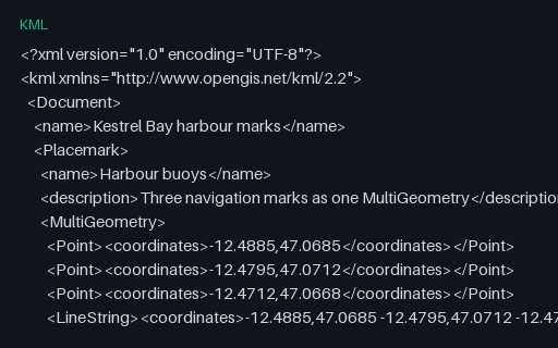
One Placemark whose MultiGeometry mixes three Points with a LineString. GeoJSON has no equivalent single type for a heterogeneous set, so this must become a GeometryCollection, and converters that reach for MultiPoint instead lose the line.
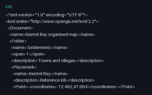
Eight Placemarks arranged in three levels of Folder, the hierarchy KML uses for layer trees. GeoJSON has nothing equivalent, so a converter must either flatten and record the path or lose the structure entirely, and this file makes which one it did obvious.
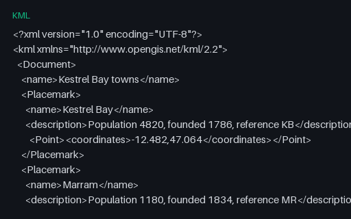
Five town Placemarks with plain-text descriptions and no styling: the smallest useful KML and the baseline for the rest of this subcategory. Coordinates match the master territory, so a KML-to-GeoJSON conversion can be diffed against a known answer.
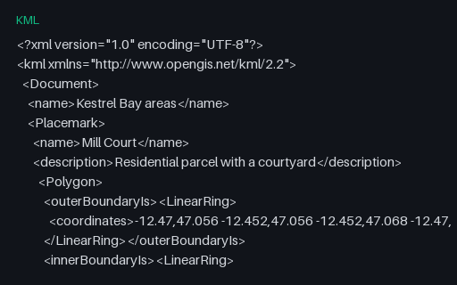
Two polygons that each carry an `innerBoundaryIs` ring: a parcel with a courtyard and a lake with an island. KML names its rings explicitly instead of relying on winding order, so converting to GeoJSON means deciding the winding rather than copying it.