Find files, editable templates and browser test targets by what you need to make or test. The directory below is cut by format; the two collections under it cut the same library by subject and by workflow.
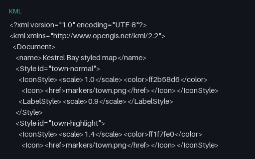
Shared `Style` blocks referenced by `styleUrl`, plus a `StyleMap` pairing normal and highlight states. KML colours are written aabbggrr rather than the usual rrggbbaa, which is why converted maps so often come out with red and blue swapped.
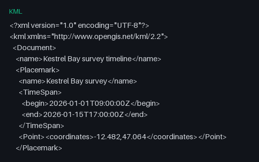
Four Placemarks with a `TimeSpan` and one with an instantaneous `TimeStamp`, which is what drives the time slider in a globe viewer. Time is the first thing a KML-to-GeoJSON conversion drops, because RFC 7946 has no place to put it.
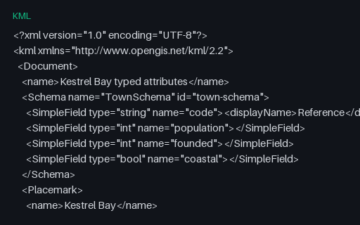
The same five towns with a declared `Schema` and typed `SimpleData` values: KML's answer to untyped ExtendedData. Pair it with the untyped fixture to check that your importer prefers a declared type over a guessed one.
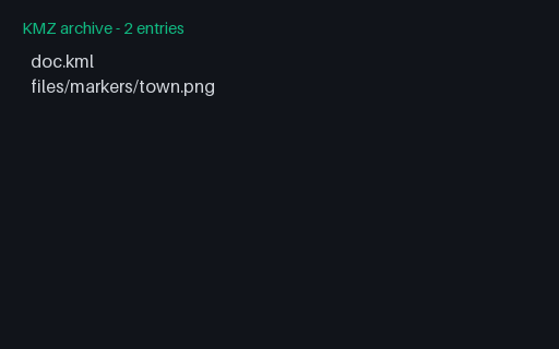
A KMZ whose style points at `files/markers/town.png` inside the same archive. Resolving that relative href against the archive rather than the filesystem is the whole job of a KMZ reader, and it is where extract-then-parse implementations break.
A KMZ that contains a second KML in a subdirectory, reached through a `NetworkLink` with a relative href, plus an overlay image two directories deep. Readers that only load `doc.kml` show the overlay but none of the three parcels.
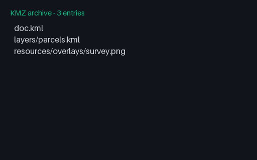
The minimal KMZ: a ZIP holding exactly one `doc.kml` at the archive root and nothing else. Readers are supposed to open the first .kml they find, and most look for the conventional name: this file satisfies both rules.
A small raster tile pyramid covering the invented territory, one flat colour per zoom level so a wrongly addressed tile is obvious on sight. The row axis follows the TMS convention, which is flipped relative to the XYZ scheme web maps use: the single most common reason an MBTiles layer renders upside down.
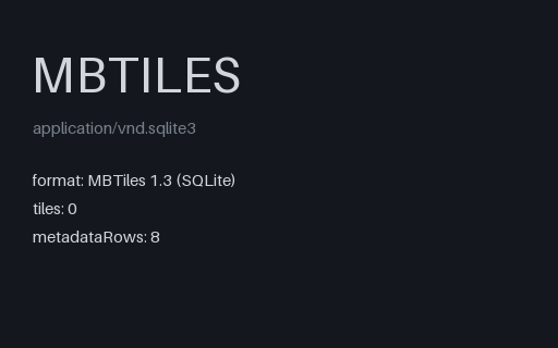
Every required MBTiles table and metadata key, and not one tile row. This is what a failed or interrupted tile build actually produces, and it is the fixture that finds code which reports success because the file opened and the schema validated.
A log with one sentence whose checksum has been altered and a final sentence truncated mid-transmission with no checksum at all: the two ways a serial GPS feed actually degrades. A correct parser drops both and keeps everything else.
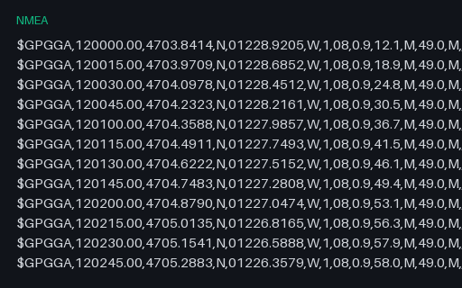
The same twelve fixes reduced to GGA alone. GGA carries time-of-day but no date and no speed, so a parser that only reads GGA cannot place the track on a calendar: a real limitation that this file makes obvious rather than leaving to be discovered later.
The same sentences terminated with a bare LF rather than the CR LF the standard mandates: what you get after a log passes through a text editor or a Unix pipeline. Parsers that strip only "\r\n" leave a stray character on every line and then fail the checksum.
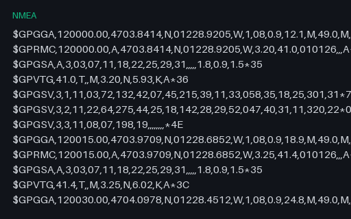
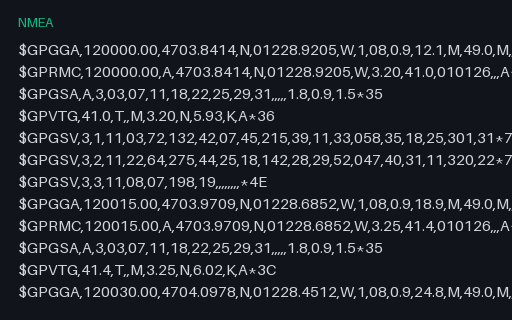
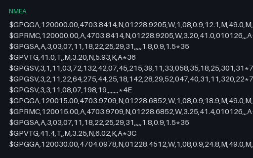
A twelve-fix receiver log with the five sentence types a GPS unit normally interleaves, including three-part GSV satellite-in-view sets. Every checksum is correct, so a parser that verifies them should accept the whole file.
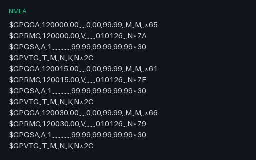
Six cycles of a receiver that has power but no satellite lock: GGA fix quality 0, RMC status V, and empty coordinate fields throughout. Parsers that split on commas and index positionally read these empty fields as zeros and plot the track at Null Island.
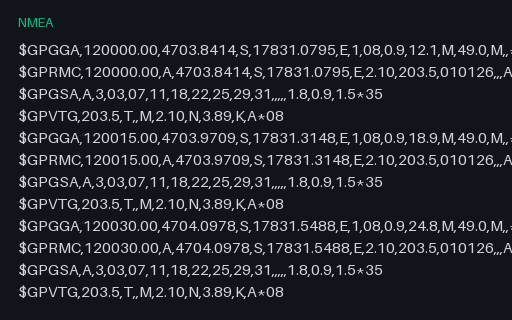
NMEA never writes a negative coordinate: sign lives entirely in the N/S and E/W letters, and the numeric field is always positive. This log sits in the southern and eastern hemispheres, so a parser that ignores the hemisphere letter puts every fix in the wrong quadrant of the world.
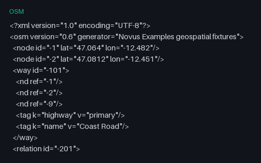
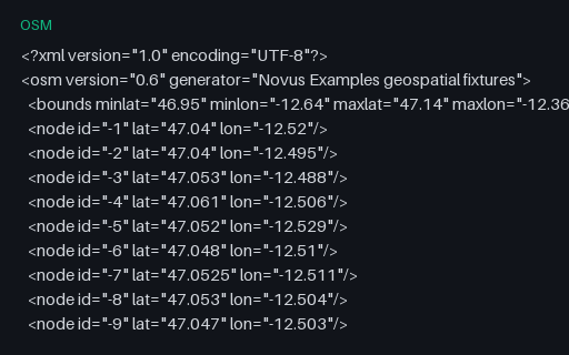
Intentionally invalid: a way referencing node -9 and a relation referencing way -999, neither of which is in the file. This is the normal state of a bounding-box extract, where objects are clipped at the boundary, so a reader has to decide between rejecting the file and building partial geometry, and must say which.
Wither Lake and its island as an OSM multipolygon relation: two closed ways tagged separately and joined by a relation whose members carry outer and inner roles. OSM has no polygon primitive at all, so reconstructing the hole means reading the relation rather than the ways.
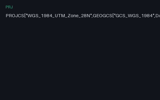
The UTM zone that actually contains the invented territory: zone 28N, central meridian 15 W. It is a definition fixture only: no projected coordinates are published for it here, because a transverse Mercator value is not something to take on trust from a fixture.
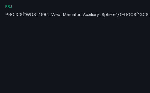
The projection every web map uses, defined as Esri's Mercator_Auxiliary_Sphere. It treats the ellipsoid as a sphere for the projection maths while keeping ellipsoidal latitudes, which is why it is a pseudo-Mercator and why it cannot represent latitudes beyond about 85.05 degrees.
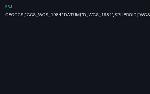
The reference .prj for this category: WGS 84 geographic in Esri's WKT 1 dialect, which uses D_WGS_1984 and GCS_WGS_1984 in place of the OGC spellings and carries no AUTHORITY node. Everything else in this family is a variation on it.
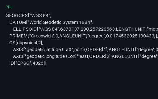
The same CRS in WKT 2, which renames almost every keyword (GEOGCRS, ELLIPSOID, LENGTHUNIT) and (crucially) declares axis order explicitly with AXIS and ORDER. WKT 1 left that implicit, which is the root of most latitude/longitude swaps.
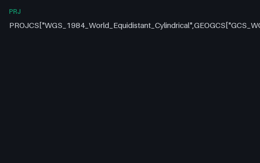
Plate carrée on a sphere of radius 6,378,137 m: the simplest projection with a closed form you can check by hand. That is exactly why it is here: it makes the reprojection pair in this subcategory verifiable with a calculator rather than a library.
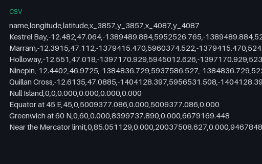
Nine control points (the five towns plus Null Island, the equator, a high-latitude point and the Web Mercator latitude limit) with their coordinates in both projections. The two target projections share the x formula and differ only in y, which isolates a latitude-transform bug from a longitude one.
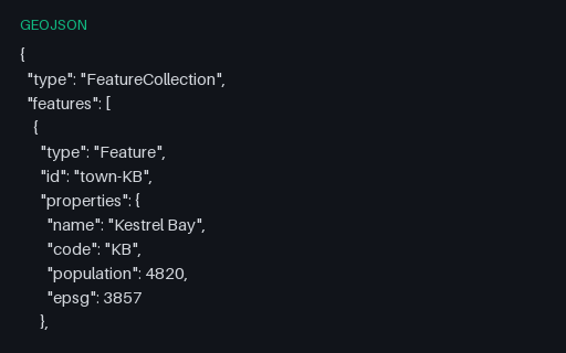
The five towns in EPSG:3857: Web Mercator, the projection every slippy map renders in. All three files hold the same five places, so reprojecting any one of them and diffing against another scores your transform against a known answer rather than against another implementation of the same library.
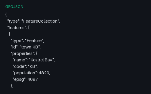
The five towns in EPSG:4087: World Equidistant Cylindrical, whose closed form can be checked by hand. All three files hold the same five places, so reprojecting any one of them and diffing against another scores your transform against a known answer rather than against another implementation of the same library.